


Canada, East Adventure Map 3115 by National Geographic Maps
• Waterproof • Tear-Resistant • Travel Map
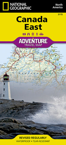
Explore the rich cultural history and many recreation activities available in Canadas eastern territories with National Geographics Canada East Adventure Map. Designed to meet the needs of adventure travelers with its detailed, accurate information, this map includes the location of cities and towns with a user-friendly index and a clearly marked road network complete with distances and designations for roads, motorways, and expressways. Secondary routes are also included for those seeking to explore the stark wilderness of Newfoundland, the fertile farms of Prince Edward Island, or Nova Scotias hidden coves and beaches. This map contains hundreds of diverse and unique recreational, ecological, cultural, and historic destinations. Whether you seek the quaint harbor gem of Halifax, the majestic city life of Toronto, or the old world charm of Montreal and Quebec City, youll find it a perfect companion to a guidebook.
On the front side youll find routes leading to the stunning Niagara Falls, Canadas largest city of Toronto, Algonquin Provincial Park (Canadas largest national park), and the northern regions of Ontario and the Labrador Peninsula. The far eastern provinces on the reverse side are playgrounds for active exploring and scenic beauty, including Quebec, New Brunswick, Prince Edward Island, Nova Scotia, Newfoundland, and the mighty St. Lawrence River.
Every Adventure Map is printed on durable synthetic paper, making them waterproof, tear-resistant and tough - capable of withstanding the rigors of international travel.
Map Scale = 1:2,100,000
- Product Number: 2127736M
- Product Code: NG_AM_CAN_E
- Publisher Product ID: AD00003115
- ISBN: 9781566956376
- Year of Publication: 2013
- Folded Size: 9.45 x 4.33 inches
- Unfolded Size: 32.68 x 24.8 inches
- Map type: Folded Map
- Geographical region: Canada


