
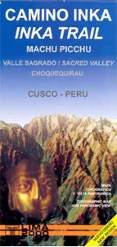
Inca Trail, Sacred Valley by Lima 2000
This topographic map from the Lima-based publisher Lima 2000 is quite simply the best map for the Inca Trail from Kilometre 88 to Machu Picchu. It is in full color and is also the largest scale map available for the route while still slipping easily into a pocket or rucksack.
The map shows a UTM grid and also latitude and longitude margin ticks at 2 intervals. The map has contours at 100m intervals, peak altitudes and relief-shading to further emphasise the physical landscape. Towns and villages, railways, roads and footpaths, rivers, ruins, terraces, stairways, police stations, campsites and toilets are all marked. A small inset shows a simple street plan of Aguas Calientes, another shows the Machu Picchu ruins.
Background information (in English & Spanish) is provided in the margins, plus a including a vertical profile diagram of the trail. On the reverse is a smaller scale panoramic view of the wider region showing Cusco, Abancay, Quillabamba and the Sacred Valley from Machu Picchu to San Salvador. Additional symbols highlight ruins, churches, thermal baths, trekking, cycling and canoeing sites, museums and locations with services for tourists. A table shows distances between selected towns.
- Product Number: 2062245M
- Product Code: LIM_INCA
- ISBN: 9789972654220
- Year of Publication: 2009
- Folded Size: 8.27 x 3.94 inches
- Unfolded Size: 16.54 x 19.69 inches
- Map type: Folded Map
- Geographical region: Peru


