
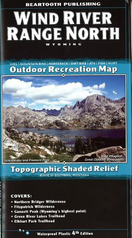
Wind River Range, North, Wyoming by Beartooth Publishing
Outdoor recreation map, topographic shaded relief printed on waterproof plastic paper. This detailed map ranges from Pinedale to the Trail Lakes Trailhead south of Dubois. The detail shows every little lake, creek, and wetland. Covers Northern Bridger Wilderness, Fitzpatrick Wilderness, Gannett Peak, Green River Lakes Trailhead, and Elkhart Park Trailhead. Set at 50-foot contour intervals
- Product Number: 2053704M
- Product Code: BP_WIND_RIVER_N
- ISBN: 9781887460200
- Year of Publication: 2014
- Folded Size: 8.27 x 4.330 inches
- Unfolded Size: 38.58 x 24.410 inches
- Map type: Folded Map
- Geographical region: Wyoming


