
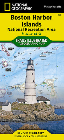


Boston Harbor Islands National Recreation Area, MS, Map 265 by National Geographic Maps
• Waterproof • Tear-Resistant • Topographic Map
Located just outside of downtown Boston, the Boston Harbor Islands provide an abundance of recreational opportunities for all outdoor enthusiasts. Expertly researched and created in cooperation with the National Park Service, Boston Harbor Islands Alliance and many others, National Geographics Trails Illustrated map of Boston Harbor Islands National Recreation Area is an essential travel companion for all visitors to the area. The front side of the map contains both topography and bathymetry, while the reverse side shows the area in high-resolution satellite imagery. Together they provide extensive detail of all 34 harbor islands, shorelines, downtown Boston and neighboring communities, Boston Inner Harbor and the other waterways that surround the islands.
Mainland piers with park operated ferries to the islands are clearly marked along with their facilities as well as water taxi stations. Boaters will find boat ramps, docks, moorings, buoys, beacons and soundings. Background information of many of the islands is provided along with hiking and biking trails, available facilities and pinpointed structures, buildings and other points of interest. Other recreational features noted include areas for fishing, swimming, diving, canoeing, kayaking, cross-country skiing, wildlife viewing, camping and picnicking. The map also provides a complete road network of the area along with subway, commuter rail stations.
Every Trails Illustrated map is printed on Backcountry Tough waterproof, tear-resistant paper. A full UTM grid is printed on the map to aid with GPS navigation.
Other features found on this map include: Boston, Charles River, Hingham, Hull, Milton, Quincy, Winthrop.
Map Scale = 1:25,000
- Product Number: 2053316M
- Product Code: TI_BOST_ISLES
- Publisher Product ID: TI00000265
- ISBN: 9781566955751
- Year of Publication: 2011
- Folded Size: 9.45 x 4.330 inches
- Unfolded Size: 24.8 x 33.07 inches
- Map type: Folded Map
- Geographical region: Massachusetts


