
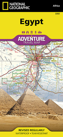
Egypt Adventure Map 3202 by National Geographic Maps
• Waterproof • Tear-Resistant • Travel Map
National Geographics Egypt AdventureMap is designed to meet the unique needs of adventure travelers with its durability and accurate information. This folded map provides global travelers with the perfect combination of detail and perspective, highlighting hundreds of points of interest and the diverse and unique destinations within the country.
The map includes the locations of cities and towns with a user-friendly index, plus a clearly marked road network complete with distances and designations for major highways, main roads, and tracks and trails for those seeking to explore more remote regions.
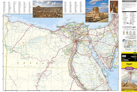
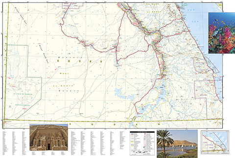
Egypts northern half is shown on the front side of the map from its Mediterranean coast, Alexandria, and the great city of Cairo south to include the cities of Faiyum, Beni Suef, Minya, Asyut, and Sohag. The reverse side of the map covers the southern portion of the country, and shows the cities of Nag Hammadi, Luxor, Aswan, and Qena, and the oases of Kharga and Dakhla.
Every AdventureMap is printed on durable synthetic paper, making them waterproof, tear-resistant and tough - capable of withstanding the rigors of international travel.
Map Scale = 1:1,250,000
- Product Number: 2050621M
- Product Code: NG_AM_EGY
- Publisher Product ID: AD00003202
- ISBN: 9781566955294
- Year of Publication: 2011
- Folded Size: 9.45 x 4.33 inches
- Unfolded Size: 20.47 x 35.04 inches
- Map type: Folded Map
- Geographical region: Egypt


