
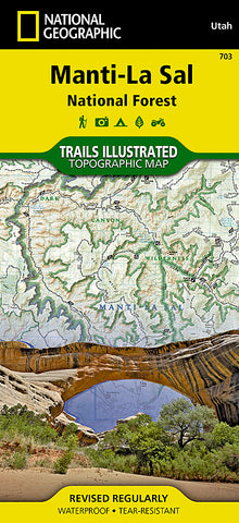


Manti La Sal National Forest by National Geographic Maps
Click to Zoom (high resolution)
• Waterproof • Tear-Resistant • Topographic Map
Coverage includes Manti-La-Sal National Forest; Dark Canyon Wilderness/Primitive Area; Natural Bridges, New Mexico; Monticello, Blanding, Fry Canyon, Blue Mountains, Woodenshoe and Hammond canyons; Indian Creek and Recapture Lake.
Map Scale = 1:70,000
- Product Number: 2034638M
- Product Code: TI_UT_MANTI
- Publisher Product ID: TI00000703
- ISBN: 9781566953771
- Year of Publication: 2008
- Folded Size: 9.45 x 4.33 inches
- Unfolded Size: 24.41 x 36.22 inches
- Map type: Folded Map
- Geographical region: Utah


