
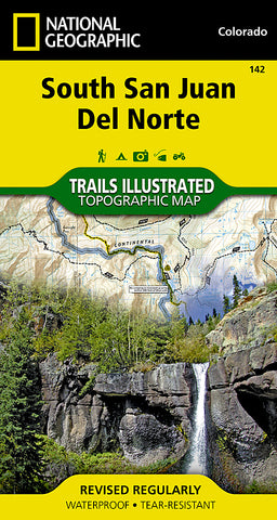


South San Juan and Del Norte, Colorado, Map 142 by National Geographic Maps
• Waterproof • Tear-Resistant • Topographic Map
Expertly researched and created in partnership with the U.S. Forest Service, the Bureau of Land Management and others, National Geographics Trails Illustrated map of South San Juan and Del Norte provides an invaluable tool for exploring this rugged region of southwestern Colorado. The maps coverage includes San Juan and Rio Grande National Forests, South San Juan Wilderness, San Juan and Chalk Mountains, Rio Grande River and the Continental Divide.
This map can guide you off the beaten path and back again with mapped trails, color-coded according to their designated usage, including the Continental Divide Trail. The map base includes contour lines and elevations for summits and passes. Private land is clearly marked to avoid any disturbances while exploring the area. Recreation features such as campgrounds, trailheads and overlooks and contact information for various agencies is included as well. Los Caminos Antiguos and Silver Thread Scenic Byways are also marked for those who wish to explore the area by car.
Every Trails Illustrated map is printed on Backcountry Tough waterproof, tear-resistant paper. A full UTM grid is printed on the map to aid with GPS navigation.
Other features found on this map include: Blue Mountain, Rio Grande National Forest, San Juan National Forest, South San Juan Wilderness, Summit Peak.
- Product Number: 2034581M
- Product Code: TI_CO_142
- Publisher Product ID: TI00000142
- ISBN: 9781566953412
- Year of Publication: 2008
- Folded Size: 7.48 x 3.940 inches
- Unfolded Size: 36.22 x 24.8 inches
- Map type: Folded Map
- Geographical region: Colorado


