
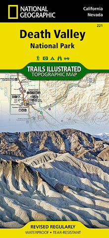
Death Valley National Park, Map 221 by National Geographic Maps
• Waterproof • Tear-Resistant • Topographic Map
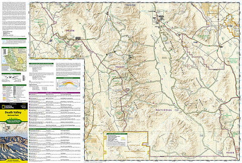
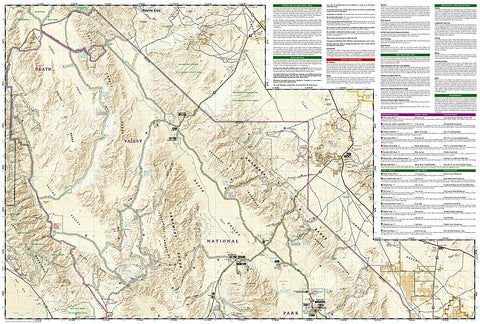
Despite its foreboding name and the fact that it is the hottest, lowest, and driest area in North America, Death Valley National Park maintains a great diversity of life in its dramatic terrain of salt-flats, canyons, mountains, valleys, sand dunes, and badlands. National Geographics Trails Illustrated map of Death Valley National Park delivers detail and valuable information to assist you in your visit to this land of extremes. Expertly researched and created in partnership with local land management agencies, this map features key areas of interest including Badwater Basin, Furnace Creek, Scottys Castle, Panamint Springs, and Stovepipe Wells.
With miles of clearly marked trails that include mileages between intersections, this map will prove invaluable in your exploration of the park. A list of backcountry roads and trails complete with descriptions, lengths, and starting points will help you choose a route thats right for your activity level and recreation use. The map base includes contour lines and elevations for summits. Hot weather tips, a temperature chart, regulations, and safety suggestions are included as well.
Every Trails Illustrated map is printed on Backcountry Tough waterproof, tear-resistant paper. A full UTM grid is printed on the map to aid with GPS navigation.
All proceeds from the purchase of a National Geographic map help support the Societys vital exploration, conservation, scientific research, and education programs.
Other features found on this map include: Amargosa Desert, Amargosa River, Amargosa Valley, Badwater Basin, Bare Mountain, Beatty, Black Mountains, Cottonwood Mountains, Death Valley, Death Valley, Death Valley National Park, Eureka Valley, Funeral Mountains, Gold Mountain, Gold Point, Grapevine Mountains, Greenwater Range, Keeler, Last Chance Mountain, Nelson Range, New York Butte, Owens Lake, Owens River, Owlshead Mountains, Panamint Range, Saline Valley, Sarcobatus Flat, Searles Lake, Telescope Peak, Towne Pass, Trona, Tucki Mountain, Ubehebe Peak, Westend, California, Nevada.
- Product Number: 2034540M
- Product Code: TI_DEATH
- Publisher Product ID: TI00000221
- ISBN: 9781566953214
- Year of Publication: 2006
- Folded Size: 9.45 x 4.33 inches
- Unfolded Size: 24.8 x 33.07 inches
- Map type: Folded Map
- Geographical region: California


