
Wrangell, St. Elias National Park, AK by National Geographic Maps
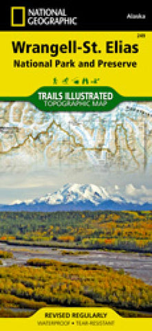
Double-sided, waterproof, topographic map of Wrangell-St. Elias. Arrive in the area using one of only two paved roads or use the mapped landing areas, seaplane bases and anchorage sites and continue your exploration with mapped hiking trails and primitive routes. Two insets show detailed access to the Kennicott Valley and Nabesna. Explore the backcountry using the maps contour lines, elevations, labeled peaks and summits, water features, selected waypoints, areas of wooded cover and color-coded boundaries between different land designations. Other recreation and adventure points of interest include ranger stations, campgrounds, trail shelters, public cabins, restrooms and scenic viewpoints. Some additional map features are background information of the various public lands in the area, wilderness safety tips, bear encounter guidelines and essential contact information.
- Product Number: 2034525M
- Product Code: TI_WRANGELL
- ISBN: 9781566953825
- Year of Publication: 2016
- Folded Size: 9.45 x 4.33 inches
- Unfolded Size: 33.66 x 25.2 inches
- Map type: Folded Map
- Geographical region: Alaska


