
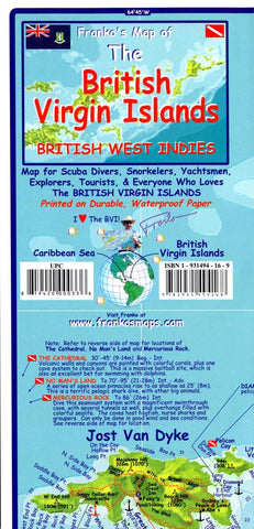
Caribbean Map, British Virgin Islands, folded, 2009 by Frankos Maps Ltd.
This is one of the most unusual of Frankos Maps; it included so much input from the locals (almost every bit of information on it has been given or carefully scrutinized by the local BVI people, specifically the British Virgin Islands Dive Association, which is all of the dive shops and some of the dive live-aboard boat operators. It is an accurate chart of the islands, and a good map of the roads and features of each island as well. Every notable scuba and snorkeling site is shown, as are main boating routes. It is entirely a tracing of British Government charts.
Side 1 features diving areas.
Side 2 shows the entire string of islands comprising the BVI.
- Product Number: 2034441M
- Product Code: FM_BVI
- ISBN: 9781931494168
- Year of Publication: 2009
- Folded Size: 9.45 x 4.72 inches
- Unfolded Size: 17.91 x 25.79 inches
- Map type: Folded Map
- Geographical region: Miscellaneous


