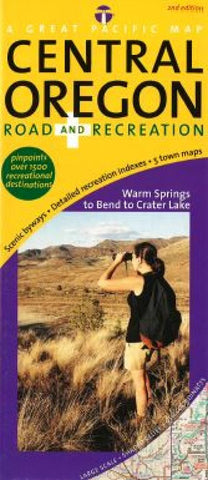
Central Oregon, Road and Recreation by Great Pacific Recreation & Travel Maps
Updated Dec., 2012 by GP Maps
Comprehensive Coverage From Warm Springs to Bend to Crater Lake
Large Scale Maps: Concise, clear and colorful. Attractive shaded relief beautifully depicts the regions varied topography
Detailed Town Maps: Bend (Town + Downtown inset), Prineville (Town + Downtown inset), Redmond (Town + Downtown inset), Sisters & Sunriver
Comprehensive Indexing: Recreational destination categories include Attractions & Places of Interest, Boat Ramps & Marinas, Breweries, Wineries & Distilleries, Fishing Lakes, Golf Courses, Natural Features & Wonders, Parks, Campgrounds & Recreation Areas, Shopping, Ski Areas/ Winter Sports/ Sno Parks, Trails & Trailheads, Viewpoints, Overlooks & Lookouts, Visitor Info Ctrs., Waterfalls & Scenic Rivers and Zoos, Hatcheries & Wildlife Preserves
National Parks & Recreation Areas: Crater Lk. Natl Pk., Newberry Natl Volcanic Monument, OR Cascades Lakes Rec Area, Crooked Rvr. Natl Grassland and Cabin Lake Fort Rock Wildlife Area
Scenic Byways clearly highlighted and labeled
- Product Number: 2033724M
- Product Code: GPR_OR_CENT
- ISBN: 9780938011606
- Year of Publication: 2012
- Folded Size: 9.06 x 3.94 inches
- Unfolded Size: 17.52 x 25 inches
- Map type: Folded Map
- Geographical region: Oregon


