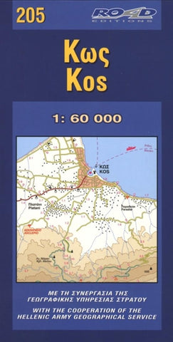
Kos, Greece by Road Editions
This map of Kos was provided by collaborating with the Hellenic Military Geographic Service. As with all ROAD maps, colored contour lines in brown tones darken as the altitude rises, thereby clearly illustrating the mountains and hills in relief. Between them, the flumes and dry torrents are marked with a dashed blue line, providing you with a full image of the island.
Of course, all beaches and country churches are marked with their names, the archaeological sites, the islands airport, a rich road network that includes many secondary, difficult to negotiate unsurfaced roads (which, however, pass through beautiful landscapes or lead you to deserted beaches).
Concise information is provided on the history of Cos as well as information about local products, the beaches and the islands places of interest. There is a city map of Kos on the front which contains useful information. On the back, there is a list of the accommodations available on the island, the travel bureaus, local bus schedules, and an illustration of the Cos Asclepeion archaeological site.
- Product Number: 2033609M
- Product Code: RE_KOS
- ISBN: 9789608481527
- Map type: Folded Map
- Geographical region: Greece


