
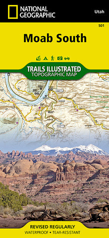


Moab, South, Map 501 by National Geographic Maps
• Waterproof • Tear-Resistant • Topographic Map
Expertly researched and created in partnership with local land management agencies, National Geographics Trails Illustrated map of Moab South provides an unparalleled tool for exploring this iconic landscape. Whether your preferred mode of transportation through this wilderness is a mountain bike, whitewater raft, ATV, Jeep, or your own two feet, youll appreciate the unmatched detail and useful information offered on this map. The print map includes Canyonlands National Park, Dead Horse Point State Park, and Canyon Rims and Sand Flats recreation areas, as well as detail of the Moab / Poison Spider Mesa / Gemini Bridges / Hurrah Pass area.
Particular attention is shown to the extensive trail systems in the area. Information on mountain bike and Jeep trails, including the scenic White Rim Trail includes their difficulty rating, mileage, and location. A listing of popular hiking-only trails is included, and the western portion of Kokopellis Trail that traverses the region is highlighted. Trail use and mileages between intersections are clearly marked. River mileage on the Colorado and Green rivers is noted as well, for those exploring by boat. The map base includes contour lines and elevations for summits and passes. Some of the many recreation features include campgrounds, trailheads, river access, boat launches, amphitheaters, and scenic overlooks.
Every Trails Illustrated map is printed on Backcountry Tough waterproof, tear-resistant paper. A full UTM grid is printed on the map to aid with GPS navigation.
Other features found on this map include: Canyonlands National Park, Glen Canyon National Recreation Area, Hatch Point, Manti-La Sal National Forest, Mineral Point, Soda Springs Basin.
- Product Number: 2032671M
- Product Code: TI_BIKE_501
- Publisher Product ID: TI00000501
- ISBN: 9781566953566
- Year of Publication: 2012
- Folded Size: 9.45 x 4.330 inches
- Unfolded Size: 24.8 x 37.01 inches
- Map type: Folded Map
- Geographical region: Utah


