
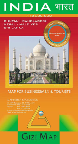
India Geographical Map by GiziMap
This folded geographical map of India includes Bhutan, Nepal, Sri Lanka, Maldive Islands, and Bangladesh. The map features shaded-relief and elevation tinting. Major and minor roads are depicted along with railways, distance in kilometers, state boundaries, airports, historical sites, points of interest, tourist sites, and natural features. Includes index of place names on reverse side of map and insets of Andaman and Nicobar Islands, Maldive Islands, and administrative map. Legend in many languages, including English, German, French, Italian, Russian, Chinese, Hindi, and Hungarian. Scale is 1:3 million.
- Product Number: 2032402M
- Product Code: GIZ_INDIA_GEOG
- ISBN: 9789632121635
- Year of Publication: 2010
- Folded Size: 9.45 x 5.12 inches
- Unfolded Size: 46.85 x 31.89 inches
- Map type: Folded Map
- Geographical region: India


