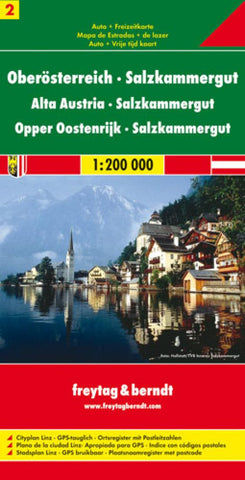
Upper Austria and Salzkammergut by Freytag-Berndt und Artaria
Explore the Upper Austria and the Salzkammergut with this Freytag&Berndt road map. The best way to plan your trip, prepare your itinerary, and to travel independently in this part of northeast Austria.
Top10 Tips: This map includes a Top10 of most interesting sights
in 4 languages (including English) in a booklet. This booklet also contains a place name index and inset maps of Branau am Inn, Eferding, Enns, Freistadt, Gmunden, Grieskirchen, Kirchdorf an der Krems, Linz, Perg, Ried im Innkreis, Rohrbach in Oberösterreich, Schärding, Vöcklabruck, Steyr and Wels.
Touristic information on the map: hiking paths, cycles tours, scenic routes, places of interest, religious buildings, castles, manor-houses, antique sites, campgrounds, hotels, inns, mountain cabins, youthhostels, golf-courses, view-points, airports and airfields.
The legend is in English, German, French, and Italian.
- Product Number: 2031979M
- Product Code: FB_A_2
- ISBN: 9783850843423
- Year of Publication: 2012
- Folded Size: 10.24 x 5.12 inches
- Unfolded Size: 33.07 x 32.28 inches
- Map type: Folded Map
- Geographical region: Austria


