
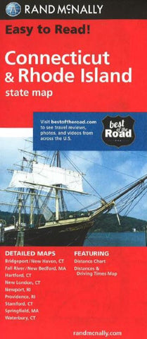
Connecticut and Rhode Island by Rand McNally
Regularly updated, full-color maps
77% larger map with a bigger type size than the Rand McNally Folded Map
Clearly labeled Interstate, U.S., state, and county highways
Indications of parks, points of interest, airports, county boundaries, and more
Mileage and driving times map
Detailed index
Convenient folded size
Detailed maps of: Bridgeport/New Haven, CT; Fall River, MA; Hartford, CT; New London, CT; Newport, RI; Providence, RI; Stamford, CT; Springfield, MA; Waterbury, CT
- Product Number: 2031043M
- Product Code: RM_EASY_CT_RI
- ISBN: 9780528881138
- Year of Publication: 2008
- Folded Size: 9.45 x 4.33 inches
- Unfolded Size: 26.38 x 38.58 inches
- Map type: Folded Map
- Geographical region: United States


