


Fort Myers Beach/Naples, Florida, Map 407 by National Geographic Maps
• Waterproof • Tear-Resistant • Topographic Map
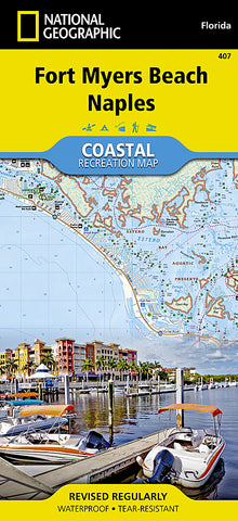
Let National Geographics Coastal Recreation map of Fort Myers Beach and Naples lead you both on land and on water, along the shorelines in southwest Florida. This expertly researched map delivers unparalleled detail of recreation hotspots such as Estero Bay Preserve State Park and Aquatic Preserve; Sanibel, Estero and Keewaydin Islands; Lovers Key and Delnor-Wiggins Pass State Parks; Bonita and Naples Beaches; Imperial River; Big and Little Hickory Bays; Barefoot Beach Boulevard; Rookery Bay National Estuarine Research Reserve; J.N. Darling National Wildlife Refuge; and Gulf of Mexico as well as a complete road network from San Carlos Park to the city of Naples.
Pursue your recreational passion by following along mapped trails for hiking, biking, kayaking, canoeing or other paddling vessel, including the Great Calusa Blueway and a segment of the Florida Circumnavigational Saltwater Paddling Trail. Other recreation features pinpointed include campgrounds, RV campgrounds, boat launches, beaches, golf courses, dive sites and areas for picnicking, swimming, snorkeling and fishing. A marina guide provides location, contact information, maximum boat sizes and various amenities. Some additional marine aids are day beacons, lights, buoys and sounding. Also provided are QR codes for current weather information and U.S. Coast Guard updates as well as background information of the area, boating safety tips and essential contact information.
Every Trails Illustrated map is printed on Backcountry Tough waterproof, tear-resistant paper. A full UTM grid is printed on the map to aid with GPS navigation.
Other features found on this map include: Bonita Springs, Estero Bay, Naples.
Map Scale = 1:40,000
- Product Number: 2139947M
- Product Code: TI_FT_MY
- Publisher Product ID: TI00000407
- ISBN: 9781566956765
- Year of Publication: 2013
- Folded Size: 9.45 x 4.33 inches
- Unfolded Size: 37.01 x 24.8 inches
- Map type: Folded Map
- Geographical region: Florida


