
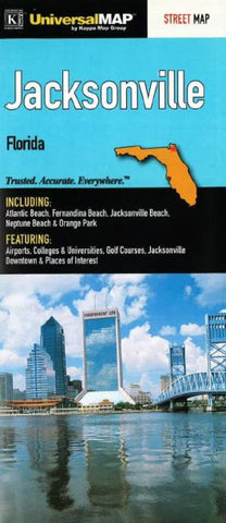
Jacksonville, Florida by Kappa Map Group
Folded street map of Jacksonville, FL. Covers Amelia Island, Atlantic Beach, Fernandina Beach, Jacksonville Beach, Neptune Beach, Orange Park, and Ponte Vedra Beach. Features an inset map of Central Jacksonville. Includes complete index, color-coded travel routes, railroads, boundaries, ZIP code numbers/boundaries, township/range boxes, airports, cemeteries, schools/colleges/universities, fire/police stations, golf courses, government facilities, hospitals, libraries, parks, forests, industrial parks, shopping centers, and points of interest.
- Product Number: 2052465M
- Product Code: KMG_JACKS_FL
- ISBN: 9780762572304
- Year of Publication: 2010
- Folded Size: 9.06 x 3.94 inches
- Unfolded Size: 38.19 x 26.38 inches
- Map type: Folded Map
- Geographical region: Florida


