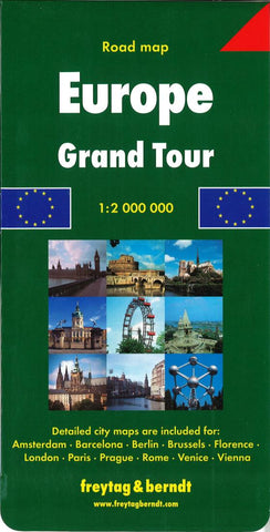
Europe, Grand Tour by Freytag-Berndt und Artaria
Folded road & tourist map of Europe at 1:2,000,000 scale that includes indexed 63-page booklet of place names and city map insets. This is a great trip planning or research map. It covers the main areas tourists visit. Northern edge of map covers lower Scandinavia; western edge is England, Ireland, and eastern Spain; south to the Mediterranean; east to Prague and Budapest. Accurate and up-to-date with shaded-relief tinting that depicts topography. Major roads and highways, railways, ferry lines, national parks, major airports, distances in kilometers, and border crossing points shown. Detailed city maps include Amsterdam, Barcelona, Berlin, Brussels, Florence, London, Paris, Prague, Rome, Venice, and Vienna.
- Product Number: 2031955M
- Product Code: FB_EUR_GRAND
- ISBN: 9783707907230
- Year of Publication: 2007
- Folded Size: 10.24 x 5.12 inches
- Unfolded Size: 46.46 x 39.37 inches
- Map type: Folded Map
- Geographical region: Europe