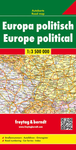
Europe, Political by Freytag-Berndt und Artaria
A cardboard-covered, folded political road map of Europe at a scale of 1:3,500,000 (55 miles to 1). Countries are identifed in their native spelling i.e. Espana for Spain along with their International License Plate codes, borders are defined by color. The Latin alphabet is used. Selected elevations and distances are shown.There is an inset of the Scandinavian countries, with Iceland, at a scale of 1:9,450,000 (149 miles to 1). The reverse side is the placename index. The legend is in English, French, Italian, and German.
- Product Number: 2030763M
- Product Code: FB_EUR
- ISBN: 9783850842228
- Year of Publication: 2010
- Folded Size: 10.24 x 5.12 inches
- Unfolded Size: 33.86 x 48.23 inches
- Map type: Folded Map
- Geographical region: Europe