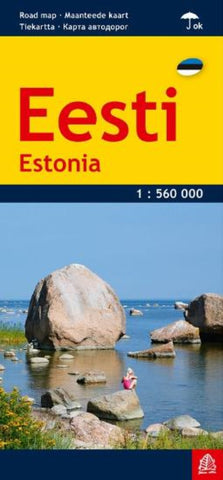
Eesti 1:560 000 Road map (laminated)
Estonia at 1:560,000 on a handy size, waterproof and tear-resistant map from Jana Seta, combining an indexed map of the whole country with transit plans of its principal cities: Tallinn, Narva, Tartu, Pärnu and Kuressaare.
On one side is a map of the country at 1:560,000 providing an overview of its road network, including many local gravel or unsurfaced roads. Driving distances are given on main routes. Railway lines are includes and ferry connections are marked. Also shown are the country’s administrative divisions with names of the provinces. National parks are prominently highlighted and various other places of interest, including picturesque locations, are marked. The map has latitude and longitude lines at intervals of 30’. Map legend includes English.
On the reverse is an index of localities, a distance table, plus enlargements showing access to and principal traffic routes across Tallinn, Narva, Tartu, Pärnu and Kuressaare. The plans also highlight places of interest in each
- Product Number: JAN_EESTI_LAM_16
- Reference Product Number: - None -
- ISBN: 9789984075938
- Date of Publication: 6/1/2016
- Folded Size: 9.45 inches high by 4.92 inches wide
- Unfolded (flat) Size: 26.77 inches high by 36.42 inches wide
- Map format: Folded
- Map type: Trade Maps - Road
- Geographical region: Estonia