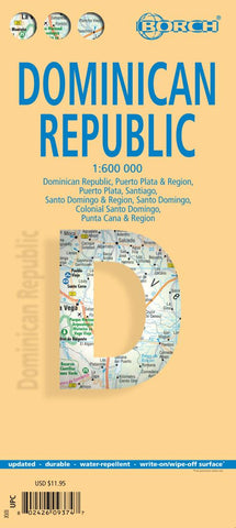
Dominican Republic Road Map
Laminated and waterproof tourist map of the Dominican Republic with street plans of Santo Domingo, Santiago and Puerto Plata. The main map covers the country at 1:600,000, with relief shading, spot heights and names of various mountain ranges showing its topography. National parks are highlighted and symbols mark locations of various places of interest, including beaches, scuba diving and windsurfing sites, etc.
On the reverse there are plans of central Santo Domingo with an enlargement for its old colonial district, Santiago and Puerto Plata, highlighting places of interest and various facilities including selected accommodation. Both the main map and the plans are indexed with lists of localities/streets and places of interest. Also included are enlargements showing the environs of Santo Domingo and Puerto Plata, a distance table for the country’s road network, and climate charts.
- Product Number: BOR_DR_22
- Reference Product Number: - None -
- ISBN: 9783866093744
- Date of Publication: 6/1/2022
- Folded Size: 9.45 inches high by 4.33 inches wide
- Unfolded (flat) Size: 34.25 inches high by 19.29 inches wide
- Map format: Folded
- Map type: Trade Maps - Travel
- Geographical region: Dominican Republic