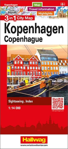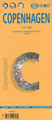
Copenhagen City Map
Excellent laminated and waterproof map for visitors to Copenhagen, combining a plan of the city with a map of its outer suburbs and a map of Sjælland. The street plan at 1:11,000 covers the city centre and the surrounding districts, extending north to include the whole of the Fælledparken, south to Amagerbro district, west to beyond the Frederiksberg Have park and east to the city walls along the Stadsgraven. The plan shows metro stations, one way streets and car parks, selected accommodation, places of interest, etc.
On the reverse is a map at 1:115,000 covering the city with its outer suburbs and surrounding area. A road map at 1:700,000 shows the whole of Sjælland island with road connections to the mainland, Lolland and the Swedish coast, including the bridge to Malmö. The map highlights numerous places of interest including Roskilde and Hamlet’s castle at Helsingør, campsites, beaches, etc. Both the plan and the two maps are indexed with lists of streets/localities plus ma
- Product Number: BOR_COPENHAGE_23
- Reference Product Number: - None -
- ISBN: 9783866093539
- Date of Publication: 6/23/2023
- Folded Size: 9.45 inches high by 4.33 inches wide
- Unfolded (flat) Size: 25.98 inches high by 19.69 inches wide
- Map format: Folded
- Map type: Trade Maps - City Maps
- Geographical region: Denmark