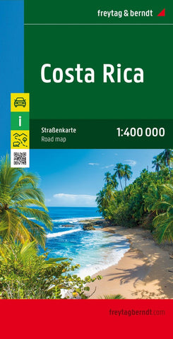
Costa Rica, road map 1:400,000
Costa Rica at 1:400,000 on a large, indexed map from Freytag & Berndt, providing a useful alternative to other maps by presenting the whole country on one side at a good scale and with a street plan of central San José. Relief is shown by hill-shading with spot heights for selected peaks and volcanoes. Swamps, waterfalls and hot springs are marked. National parks, nature reserves and Indian reservation are shown, as well as internal administrative boundaries and names of the provinces. A small inset at 1:100,000 shows Isla del Coco.
Road detail includes untarred roads and 4WD tracks, with intermediate driving distances shown on many routes. Main railway and ferry connections are marked, also local airports, harbours and marinas. Symbols highlight various landmarks and places of interest, e.g. campsites, archaeological sites, botanical gardens, viewpoints, outdoor leisure facilities such as golf courses, equestrian centers, water sport sites, etc. The map is indexed and has a la
- Product Number: FB_CR_18
- Reference Product Number: - None -
- ISBN: 9783707913910
- Date of Publication: 7/9/2018
- Folded Size: 10.02 inches high by 5.11 inches wide
- Unfolded (flat) Size: 10.02 inches high by 5.11 inches wide
- Map format: Folded
- Map type: Trade Maps - Road
- Geographical region: Costa Rica

