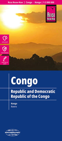
Congo Road Map
Democratic Republic of Congo (Kinshasa) and the Republic of Congo (Brazzaville) on light, waterproof and tear-resistant map providing both topographic and tourist information. The map, published by Reise Know-How as part of their highly acclaimed World Mapping Project, is double-sided to provide the best balance between a good scale and a convenient size sheet.
Topography is shown by altitude colouring with contours, spot heights, names of mountain ranges in the interior, seasonal rivers and swamps. Road network includes local roads and 4WD tracks, shows driving distances on main routes and indicates locations of fuel supplies and border crossings. Railways, local airfields, ports along the Congo and its tributaries, and ferry connections of Lake Tanganyika and Lake Kivu are marked. Internal administrative boundaries are shown with names of the provinces. Coverage includes the whole of Rwanda and Burundi. National parks and protected areas are marked and symbols indicate loca
- Product Number: RKH_CONGO_23
- Reference Product Number: - None -
- ISBN: 9783831771912
- Date of Publication: 2/1/2023
- Folded Size: 10.24 inches high by 4.72 inches wide
- Unfolded (flat) Size: 27.56 inches high by 39.37 inches wide
- Map format: Folded
- Map type: Trade Maps - Road
- Geographical region: Congo, Democratic Republic of the [Kinshasa],Congo, the [Brazzaville]