
~ Zenobia Peak CO topo map, 1:24000 scale, 7.5 X 7.5 Minute, Historical, 2013
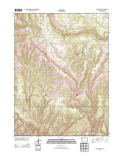
Zenobia Peak, Colorado, USGS topographic map dated 2013.
Includes geographic coordinates (latitude and longitude). This topographic map is suitable for hiking, camping, and exploring, or framing it as a wall map.
Printed on-demand using high resolution imagery, on heavy weight and acid free paper, or alternatively on a variety of synthetic materials.
Topos available on paper, Waterproof, Poly, or Tyvek. Usually shipping rolled, unless combined with other folded maps in one order.
- Product Number: USGS-5955755
- Free digital map download (high-resolution, GeoPDF): Zenobia Peak, Colorado (file size: 33 MB)
- Map Size: please refer to the dimensions of the GeoPDF map above
- Weight (paper map): ca. 55 grams
- Map Type: POD USGS Topographic Map
- Map Series: US Topo
- Map Verison: Historical
- Cell ID: 50236
- Datum: North American Datum of 1983
- Map Projection: Transverse Mercator
- Map Cell Name: Zenobia Peak
- Grid size: 7.5 X 7.5 Minute
- Date on map: 2013
- Map Scale: 1:24000
- Geographical region: Colorado, United States
Neighboring Maps:
All neighboring USGS topo maps are available for sale online at a variety of scales.
Spatial coverage:
Topo map Zenobia Peak, Colorado, covers the geographical area associated the following places:
- Browns Cabin - Reds Knob - Paint Iron Mine - Currant Springs Ranch - Cove Dam - Peterson Valley - Redfern Spring - Douglas Mountain Mine - Hillside Spring - Tisdels Place - Cove Reservoir - Little Joe Draw - Big Joe Draw - Chicken Springs - Holland Draw - Ant Hills - Five Springs Draw - Five Spring - Peterson Draw - Zenobia Peak - Queen Anne and Black Sioux Mine - Buck Draw
- Map Area ID: AREA40.62540.5-108.875-108.75
- Northwest corner Lat/Long code: USGSNW40.625-108.875
- Northeast corner Lat/Long code: USGSNE40.625-108.75
- Southwest corner Lat/Long code: USGSSW40.5-108.875
- Southeast corner Lat/Long code: USGSSE40.5-108.75
- Northern map edge Latitude: 40.625
- Southern map edge Latitude: 40.5
- Western map edge Longitude: -108.875
- Eastern map edge Longitude: -108.75


