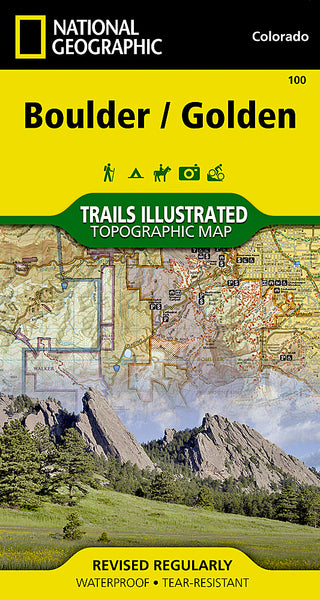
~ Greeley CO topo map, 1:250000 scale, 1 X 2 Degree, Historical, 1958
Greeley, Colorado, USGS topographic map dated 1958.
Includes geographic coordinates (latitude and longitude). This topographic map is suitable for hiking, camping, and exploring, or framing it as a wall map.
Printed on-demand using high resolution imagery, on heavy weight and acid free paper, or alternatively on a variety of synthetic materials.
Topos available on paper, Waterproof, Poly, or Tyvek. Usually shipping rolled, unless combined with other folded maps in one order.
- Product Number: USGS-5359765
- Free digital map download (high-resolution, GeoPDF): Greeley, Colorado (file size: 12 MB)
- Map Size: please refer to the dimensions of the GeoPDF map above
- Weight (paper map): ca. 55 grams
- Map Type: POD USGS Topographic Map
- Map Series: HTMC
- Map Verison: Historical
- Cell ID: 68805
- Scan ID: 403134
- Woodland Tint: Yes
- Aerial Photo Year: 1954
- Datum: Unstated
- Map Projection: Transverse Mercator
- Map published by United States Geological Survey
- Map Language: English
- Scanner Resolution: 508 dpi
- Map Cell Name: Greeley
- Grid size: 1 X 2 Degree
- Date on map: 1958
- Map Scale: 1:250000
- Geographical region: Colorado, United States
Neighboring Maps:
All neighboring USGS topo maps are available for sale online at a variety of scales.
Spatial coverage:
Topo map Greeley, Colorado, covers the geographical area associated the following places:
- Poudre Park - Hurrich - Box Prairie - Indian Meadows - Old Fort Vasquez (historical) - Hygiene - Bruce - Sunshine - Krauss - Cornish - Goodell Corner - Mountain Meadows - Glen Comfort - Wattenberg - El Vado - Frederick - Roy - Rosedale - Eaton - Raymond - Eggers - Puritan - Norfolk - Sunset - Powars - Loveland - Greeley - Bark Ranch - Masonville - Springdale - Stanley Heights Subdivision - Morey - Liggett - Boulder Junction - Walker - Purcell - Firestone - Hereford - Boulder - Rinn - Matthews - Wallstreet - Buda - Gowanda - Mountain View - Silver Spruce - Dover - Wildcat - Ault - Pulliam - Beaver Point - Masters - Farmers - Sunnyside - Bockman Lumber Camp - Ara - Drakes - Balarat - Kahler - Bulger - Welty - Erie - Cloverly - Bracewell - Johnson - Wiggins - Platteville - Roggen - Fall River Estates Subdivision - Comer - Longmont - Vollmar - Olympus Heights - La Salle - Bellvue - Carr - Hudson - Rowena - Peaceful Valley - Auburn - Drake - Big Elk Meadows - Spanish Village - Harney - Andersonville - Fort Lupton - Severance - Grover - Reds Place - Houston - Jamestown - Kirkland - Fort Saint Vrain (historical) - Elm - Sugarloaf - Sinnard - Hoyt - Summerville - Harmony - Owl Canyon
- Map Area ID: AREA4140-106-104
- Northwest corner Lat/Long code: USGSNW41-106
- Northeast corner Lat/Long code: USGSNE41-104
- Southwest corner Lat/Long code: USGSSW40-106
- Southeast corner Lat/Long code: USGSSE40-104
- Northern map edge Latitude: 41
- Southern map edge Latitude: 40
- Western map edge Longitude: -106
- Eastern map edge Longitude: -104

