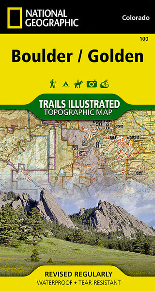
~ Denver CO topo map, 1:250000 scale, 1 X 2 Degree, Historical, 1953, updated 1978
Denver, Colorado, USGS topographic map dated 1953.
Includes geographic coordinates (latitude and longitude). This topographic map is suitable for hiking, camping, and exploring, or framing it as a wall map.
Printed on-demand using high resolution imagery, on heavy weight and acid free paper, or alternatively on a variety of synthetic materials.
Topos available on paper, Waterproof, Poly, or Tyvek. Usually shipping rolled, unless combined with other folded maps in one order.
- Product Number: USGS-5359701
- Free digital map download (high-resolution, GeoPDF): Denver, Colorado (file size: 23 MB)
- Map Size: please refer to the dimensions of the GeoPDF map above
- Weight (paper map): ca. 55 grams
- Map Type: POD USGS Topographic Map
- Map Series: HTMC
- Map Verison: Historical
- Cell ID: 68745
- Scan ID: 232795
- Imprint Year: 1978
- Woodland Tint: Yes
- Visual Version Number: 2
- Aerial Photo Year: 1976
- Edit Year: 1978
- Field Check Year: 1953
- Datum: Unstated
- Map Projection: Transverse Mercator
- Map published by United States Geological Survey
- Map Language: English
- Scanner Resolution: 600 dpi
- Map Cell Name: Denver
- Grid size: 1 X 2 Degree
- Date on map: 1953
- Map Scale: 1:250000
- Geographical region: Colorado, United States
Neighboring Maps:
All neighboring USGS topo maps are available for sale online at a variety of scales.
Spatial coverage:
Topo map Denver, Colorado, covers the geographical area associated the following places:
- Conifer - Cross Creek - Meadowood - Willow Brook - Copperdale - Roxborough Park - Crossons - Alice - Westside Neighborhood - Mission Viejo - Silver Plume - Sherwood Farms - Brandywine - Sheridan - The Pond - Broadway Estates - Riverview - Twin Cedars - Lakeside - Phoenix (historical) - Bordenville - Leyden Junction - Winter Park - Pinecliffe - Sunland - Happy Canyon Ranches - Aspen Meadows - Willow Springs - Hazeltine - Brighton - Westminster - Wellington Downs - Colfax Village - Calhan - Columbine Lakes - Oberon Acres - Vernon Gardens - Thornton - Oehlmann Park - Lake Shore Park - Daniels Garden - Rolling Hills - Highland Park - Black Forest - Side Creek - Sprucewood - Cottonwood - Aurora Knolls - Monument - Hidden Lake - Comanche - Spring Ranch - Montezuma - Hutchinson Heights - Thunderbird Estates - Littleton - Barr Lake - Ralston Estates - Wolhurst - Peoria Park - Grand Island (historical) - Berkeley Gardens - Central City - Paradise Hills - Pony Estates - Meadow Wood Farms - Mount Olivet - Sphinx Park - Fondis - Saints John (historical) - Greenwood Village - Kimberly Hills - Carriage Club - Hiwan Hills - Saint Ann Highlands - Garo - Santa Maria - Applewood - Blakeland - Riva Chase - Hillcrest Heights - Cimarron - Shamballah-Ashrama - Strasburg - Simla - Bergen Park - Gateway Park - Huntington Heights - Todd Creek - Boston Heights - Columbine Valley - Russell Gulch - Bennett - Parkborough - Edgewater - Wheat Ridge - Pine Junction - Elbert - Elizabeth - Hillside
- Map Area ID: AREA4039-106-104
- Northwest corner Lat/Long code: USGSNW40-106
- Northeast corner Lat/Long code: USGSNE40-104
- Southwest corner Lat/Long code: USGSSW39-106
- Southeast corner Lat/Long code: USGSSE39-104
- Northern map edge Latitude: 40
- Southern map edge Latitude: 39
- Western map edge Longitude: -106
- Eastern map edge Longitude: -104

