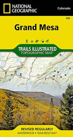
Grand Mesa, Map 136 by National Geographic Maps
Click to Zoom (high resolution)
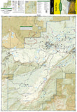
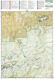
Waterproof, tear-resistant, topographic map of Grand Mesa, CO. Coverage includes Grand Mesa National Forest; Vega Reservoir State Recreation Area; Collbran, Flowing Park, Granby and Rapid Creek reservoirs; Cottonwood and Leon lakes. Ski Areas: Powderhorn. Includes UTM grids for use with your GPS unit.
- Product Number: 2036813M
- Product Code: TI_CO_136
- Publisher Product ID: TI00000136
- ISBN: 9781566953849
- Year of Publication: 2006
- Folded Size: 7.48 x 3.940 inches
- Unfolded Size: 26.38 x 20.87 inches
- Map type: Folded Map
- Geographical region: Colorado

