


Crested Butte and Pearl Pass, Colorado by National Geographic Maps
• Waterproof • Tear-Resistant • Topographic Map
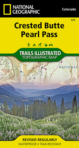
National Geographics Trails Illustrated map of Crested Butte and Pearl Pass offers extensive detail for outdoor enthusiasts seeking to enjoy the year-round recreational opportunities available in this mountainous area on the west side of the Continental Divide. Created in partnership with the U.S. Forest Service, Bureau of Land Management and others, this expertly researched map covers key areas of interest including Gunnison National Forest, Maroon Bells-Snowmass and Collegiate Peaks Wilderness areas, Crested Butte Ski Area, Elk Mountains, Taylor River, Taylor Park Reservoir, West Elk Loop Scenic Byway and the Continental Divide.
Trailheads will lead you to precisely mapped trails with clear mileage indicators, labeled according to their designated usage, whether your adventure involves hiking, cross-country skiing, biking, snowmobiling or using some other motorized vehicle. The map features shaded relief; contour lines with elevations; labeled passes, peaks and summits; and reservoirs, rivers and other water features. Some of the many recreation features include campgrounds, boat launch and river access points, and fishing areas.
Every Trails Illustrated map is printed on Backcountry Tough waterproof, tear-resistant paper. A full UTM grid is printed on the map to aid with GPS navigation.
Other features found on this map include: Collegiate Peaks Wilderness, Gunnison National Forest, Maroon Bells-Snowmass Wilderness, Taylor Park Reservoir.
- Product Number: 2034561M
- Product Code: TI_CO_131
- Publisher Product ID: TI00000131
- ISBN: 9781566952477
- Year of Publication: 2013
- Folded Size: 7.48 x 3.94 inches
- Unfolded Size: 26.77 x 21.26 inches
- Map type: Folded Map
- Geographical region: Colorado


