Caribbean DestinationMap
• Waterproof • Tear-Resistant • Travel Map
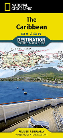
National Geographics Caribbean Destination Map strikes the perfect balance between map and guidebook and is ideal for a wide range of travelers. The map includes a detailed road network and important travel information including National Parks and protected areas, airports, cruise ports, beaches, historic sites and ruins, and sites for recreation activities including diving, surfing, sailing, and golfing.
The front side of the Caribbean DestinationMap details the eastern Caribbean and includes beautiful photographs and helpful information on each of the island destinations. The Dominican Republic, Haiti, Puerto Rico, Trinidad and Tobago, Virgin Islands, and the islands of the Lesser Antilles are represented. Also included is important cruising information, inset maps of Charlotte Amalie, U.S. Virgin Islands and Old San Juan, Puerto Rico, and the locations of National Parks. The map also covers the pristine coast of Venezuela.
- Product Number: NG_DM_CARIB_23
- Reference Product Number: - None -
- ISBN: 9781597754538
- Date of Publication: 6/1/2023
- Folded Size: 9.45 inches high by 4.33 inches wide
- Unfolded (flat) Size: 37.4 inches high by 25.59 inches wide
- Map format: Folded
- Map type: Trade Maps - Tourist