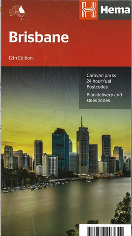
Brisbane City Map
Brisbane and Region in a series of maps from Hema presenting Australia’s main cities with three maps: a detailed street plan of the central area, a road map of the city with its outer suburbs, plus a map of the wider surrounding region for out-of-town excursions. The Brisbane map contains:
- a street plan of city centre highlighting locations of 23 places of interest and over 40 hotels
- a road map of Greater Brisbane (Bribie Island to Coomera and west to Ipswich) at 1:100,000 with an index listing each location with its postcode
- a regional road map at 1:300,000 extending along the coast southwards to beyond the border with NSW to include the Gold Coast and northwards to Noosa Heads to cover the Sunshine Coast, plus inland to the New England Highway
- also provided are diagrams of Brisbanes suburban rail and ferry networks, plus a street plan of the Gold Coast resorts from Main Beach to Broadbeach with names of numerous hotels
Both the suburba
- Product Number: HEMA_BRIS_REG_
- Reference Product Number: 2274260M
- ISBN: 9781876413859
- Folded Size: 9.84 inches high by 4.72 inches wide
- Unfolded (flat) Size: 27.17 inches high by 39.37 inches wide
- Map format: Folded
- Map type: Trade Maps - City Maps
- Geographical region: Australia
- Geographical subregion: Queensland

