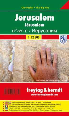
Jerusalem, City map 1:12.500, City Pocket map + The Big Five
Jerusalem in a series of handy pocket street plans from Freytag & Berndt. The map is laminated, so waterproof and tear-resistant, and highlights the publishers’ recommendations of five best choices in five categories: shopping, restaurants and cafes, culture, nightlife and sights.
The main plan of Jerusalem extends from the city centre to include the area around the Knesset, Israel Museum, Mount Herzel Cemetery and Yad Vashem. The Old City is presented in greater detail on an enlargement. Both plans are annotated with colour-coded markers highlighting the publishers’ recommendations, all listed on the reverse of the map with brief notes in several languages. Also provided is small road map of the city’s environs including Bethlehem and a Fact Box with phone numbers for tourist offices, car hire and emergency services. Map legend and notes on the recommendations include English.
- Product Number: FB_JERU_PKT_18
- Reference Product Number: - None -
- ISBN: 9783707913750
- Date of Publication: 11/27/2018
- Folded Size: 5.9 inches high by 3.54 inches wide
- Unfolded (flat) Size: 5.9 inches high by 3.54 inches wide
- Map format: Folded
- Map type: Trade Maps - City Maps
- Geographical region: Israel

