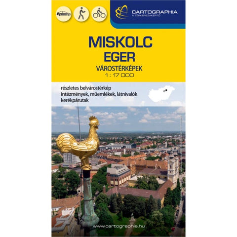
MISKOLC & EGER city map
The maps include the entire city area, as well as outlying populated areas! The traffic network, the marking of bicycle paths of sights, institutions, monuments, authorities, and offices, as well as the name index, make searching and orientation easier.
The map also includes the 1:17,000 settlement map of Lillafüred
- Product Number: C_MISK_21
- Reference Product Number: - None -
- ISBN: 9789633527122
- Date of Publication: 6/1/2021
- Folded Size: 8.86 inches high by 4.92 inches wide
- Unfolded (flat) Size: 35.54 inches high by 25.3 inches wide
- Map format: Folded
- Map type: Trade Maps - City Maps
- Geographical region: Hungary

