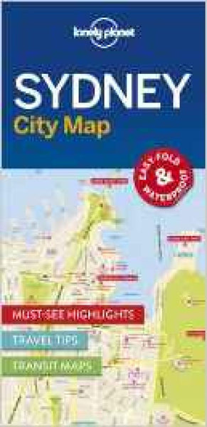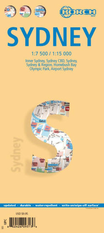
Sydney, Australia City Map
Sydney on a laminated and waterproof tourist map from Borch, combining a selection of street plans at various scales and a road map to cover the environs of the city including the Blue Mountains National Park.
The main plan at 1:15,000 covers the inner districts of the city, extending south and east to include the Centennial Park and Bondi Bay. The plan highlights places of interest, museums, theatres, selected hotels, public transport connections, car parks, one way streets, etc. On the reverse, the city centre (CBD) is shown in even greater detail at 1:7,500, with prominent individual building named. Top 30 sights in the city are listed and marked on both plans.
The map also includes plans of the city with its outer suburbs (1:120,000), the Homebush Bay Olympic Park area, and the international airport. A road map of the city’s environs at 1:450,000 extends eastwards to cover the main sights in the Blue Mountains National Park around Katoomba and Lawson.
All th
- Product Number: BOR_SYDNEY_12
- Reference Product Number: 2029136M
- ISBN: 9783866093133
- Date of Publication: 6/1/2012
- Folded Size: 9.45 inches high by 4.33 inches wide
- Unfolded (flat) Size: 34.25 inches high by 19.29 inches wide
- Map format: Folded
- Map type: Trade Maps - City Maps
- Geographical region: Australia
- Geographical subregion: New South Wales