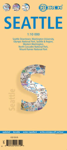
Seattle City Map
Laminated and waterproof map for visitors to Seattle and the western part of the Washington State, combining a plan of the central part of the city with regional maps, including coverage of the Mount Rainer, Olympic, and North Cascades National Parks. Coverage of downtown Seattle at 1:10,000 extends from the southern part of the Lake Union to the Safeco Field Baseball Stadium and the motorway junction providing access from the city from the south and the west. Coverage westward extends to 25th Avenue. The plan shows one way streets, parking facilities, public transport network, selected accommodation, places of interest, etc. A separate inset at 1:13,000 shows the Washington University campus.
A series of road maps provides coverage of the city’s environs and the western part of Washington State: the urban conurbation of Seattle and its region at 1:350,000 extending north to Everett and south to Lakewood and Puyallup; a road map of the western part of the state at 1:1,200,000 e
- Product Number: BOR_SEA_22
- Reference Product Number: - None -
- ISBN: 9783866093126
- Date of Publication: 6/1/2022
- Folded Size: 9.45 inches high by 4.33 inches wide
- Unfolded (flat) Size: 34.65 inches high by 19.29 inches wide
- Map format: Folded
- Map type: Trade Maps - City Maps
- Geographical region: United States
- Geographical subregion: Washington