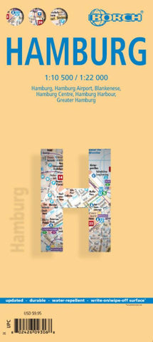
Hamburg, Germany City Map
Excellent laminated and waterproof map for visitors to Hamburg, combining a plan of the city with an enlargement for the town centre, a plan of Blankenese, a plan of Hamburg’s port area, and a map of the city’s environs. The main plan at 1:22,000 extends north from the Elbe to the airport, west to the E45 motorway and Volkspark, and east to Tonndorf, showing access/exit to E26 motorway to eastern Germany. The plan shows one way streets, parking facilities, U-Bahn and S-Bahn connections, etc., and highlights places of interest. An inset shows Blankenese at the same scale.
On the reverse is a plan at 1:10,500 showing the city’s central area in greater detail. The port area south of the Elbe is shown at 1:25,000. A map of the environs at 1:130,000 shows the motorway access to the city. All the plans and maps are indexed with lists of streets/localities plus main sights and places of interest. Also included is a list of the city’s top 30 sights, all highlighted on the street plans,
- Product Number: BOR_HAMBURG_18
- Reference Product Number: 2260844M
- ISBN: 9783866093065
- Date of Publication: 6/1/2018
- Folded Size: 9.5 inches high by 4.25 inches wide
- Unfolded (flat) Size: 39 inches high by 20 inches wide
- Map format: Folded
- Map type: Trade Maps - City Maps
- Geographical region: Germany