Budapest City Map
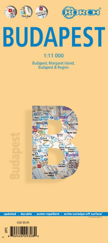
This soft-laminated folded map of Budapest shows: Budapest 1:11 000, Budapest & Region 1:400 000, Margaret Island 1:11 000, Public Transportation Budapest, Top 30 Sights, Hungary administrative and time zones. Borch Maps are easy to fold, durable and water-repellent with a wipeable surface. Borch Maps show hotels, museums, monuments, markets, public transport, top sights and points of interest, useful statistics, conversion charts for temperatures, weights and measurements, climate charts showing temperatures, sunshine hours, precipitation and humidity, overview maps, time zones, and much more...
Budapest is the capital and largest city of Hungary and its commercial, transport and cultural centre. Located on the famous Danube river, the Buda half of the city lies on the western bank while Pest(pronounced Pesht) is located on the eastern bank. Once the second most important city in the Austro-Hungarian Empire, with a settlement history including Celts, Romans and Ottoman Tur
- Product Number: BOR_BUDAPEST_18
- Reference Product Number: 2324223M
- ISBN: 9783866093287
- Date of Publication: 6/1/2018
- Folded Size: 9.45 inches high by 4.33 inches wide
- Unfolded (flat) Size: 25.98 inches high by 19.29 inches wide
- Map format: Folded
- Map type: Trade Maps - City Maps
- Geographical region: Hungary

