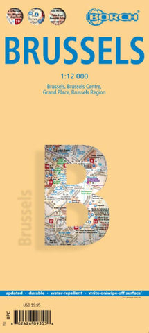
Brussels City Map
This soft-laminated folded map of Brussels shows: Brussels 1:12 000, Brussels Center 1: 10 900, Grand Place, Brussels Region 1:100 000, Public Transport Brussels and Belgium administrative. Borch maps are easy to fold, durable and water-repellent with a wipeable surface. Borch Maps show hotels, museums, monuments, markets, top sights and points of interest, useful statistics, conversion charts for temperatures, weights and measurements, climate charts showing temperatures, sunshine hours, precipitation and humidity, overview maps, time zones, and much more...
Brussels is considered the capital city of the European Union because of the numerous EU institutions headquartered here. Organisations with their main seat in Brussels include the North Atlantic Treaty Organisation (NATO) and the European Organisation for the Safety of Air Navigation (Eurocontrol). Apart from being the capital city of Belgium, Brussels is the capital of the French Community of Belgium and the capital of
- Product Number: BOR_BRUSSELS_15
- Reference Product Number: 2191179M
- ISBN: 9783866093553
- Date of Publication: 6/1/2015
- Folded Size: 9.45 inches high by 4.33 inches wide
- Unfolded (flat) Size: 19.29 inches high by 25.98 inches wide
- Map format: Folded
- Map type: Trade Maps - City Maps
- Geographical region: Belgium

