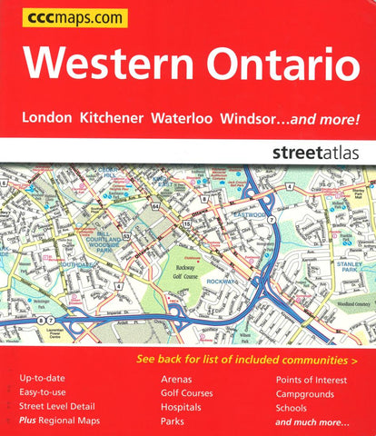
Western Ontario Street Atlas by Canadian Cartographics Corporation
The Western Ontario street atlas is the definitive auto companion for travel in this part of Ontario, whether you are a resident or short-term visitor. Its got all the features to make even the unfamiliar regions easy to navigate. Communities included: Aberfoyle, Amherstburg, Arthur, Arva, Aylmer, Ayr, Baden, Belle River, Belmont, Blenheim, Brantford, Breslau, Brights Grove, Cambridge, Chatham, Clinton, Conestoga, Corunna, Delaware, Delhi, Dorchester, Elmira, Elora, Erin, Essex, Exeter, Fergus, Forest, Goderich, Grand Bend, Guelph, Harrow, Heidelberg, Ingersoll, Kilworth, Kingsville, Kitchener, Komoka, Lakeshore, Lambeth, LaSalle, Leamington, Listowel, London, Mannheim, Mitchell, Morriston, Mount Brydges, New Hamburg, Oil Springs, Paris, Petrolia, Port Dover, Port Huron (USA), Port Stanley, Ridgetown, Rockwood, Sarnia, Simcoe, St. Clements, St. Jacobs, St. Marys, St. Thomas, Stratford, Strathroy, Tecumseh, Tilbury, Tillsonburg, Wallaceburg, Waterford, Waterloo, Wheatley, Windsor, Woodstock, Wyoming
- Product Number: 2214002
- Product Code: CCC_ONT_W_AT
- ISBN: 9781553686781
- Year of Publication: 2012
- Unfolded Size: 9.06 x 7.87 inches
- Map type: Atlas
- Geographical region: Ontario