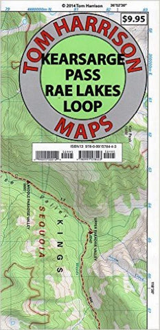
Kearsarge Pass and Rae Lakes Loop by Tom Harrison Maps
Waterproof, tear resistant shaded relief Topographic map scaled 1:42240 or 1 inch representing 2/3 miles (or better put, 1.5 inches representing 1 mile.) Contour interval 80 feet. GPS Compatible and complete UTM Grid.
Major feature is the Kearsage Pass-Rae Lake Loop, but also covered is the Paradise Valley, Vidette Meadow, Charlotte Lake, Onion Valley and Bubbs Creek.
- Product Number: 2184432M
- Product Code: TH_KEARSARGE
- ISBN: 9780991578443
- Year of Publication: 2014
- Folded Size: 9.06 x 4.33 inches
- Unfolded Size: 18.5 x 22.440 inches
- Map type: Folded Map
- Geographical region: California

