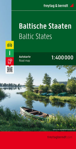
Baltic states, road map 1:400,000
Double-sided, road map showing intermediate driving distances on many routes. Road detail includes secondary roads, and toll roads and scenic routes are highlighted. Other details: ferries & railways, symbols for airports, ports, major filling stations & service stations, telecommunications towers, monuments, castles, border crossings, campsites. Nature reserves are highlighted in green. Names are printed in Cyrillic text for the Russian territory on the map.
Map legend includes English. Index booklet attached to map cover includes central stret plans for Tallin, Riga & Vilnius.
- Product Number: FB_BALTIC_19
- Reference Product Number: - None -
- ISBN: 9783707905670
- Date of Publication: 6/25/2019
- Folded Size: 10.02 inches high by 5.11 inches wide
- Unfolded (flat) Size: 10.02 inches high by 5.11 inches wide
- Map format: Folded
- Map type: Trade Maps - Road
- Geographical region: Belarus,Estonia,Latvia,Lithuania,Poland,Russia