Tobacco Root Mountains, Montana by Beartooth Publishing
Outdoor recreation map, topographic recreation map printed on waterproof plastic paper. covers entire Tobacco Root mountain range: Lewis and Clark Caverns State Park, Ennis, Harrison, Pony, Whitehall, Twin Bridges, and Sheridan.
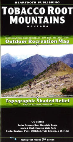
The Tobacco Root Mountains, located between Bozeman and Butte,
is one of the most scenic ranges in Montana. Everyone who recreates here immediately puts this range on their list of favorite places. From rolling sagebrush hillsides to rugged alpine peaks and lakes, the scenery is as varied as it is great. The variety of trails allows for a great experience for every user group. Hikers will find several high elevation trails to alpine lakes. Mountain bikers can choose from a few loop rides which are among the best in Montana, or can ride the trails to alpine lakes. About two dozen trails are open to motorcyclists, while about a dozen are open to ATVers.
- Product Number: 2053705M
- Product Code: BP_TOBACCO
- ISBN: 9781887460163
- Year of Publication: 2015
- Folded Size: 8.27 x 4.330 inches
- Unfolded Size: 24.41 x 38.580 inches
- Map type: Folded Map
- Geographical region: Montana