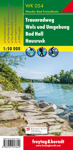
WK 054 Traunradweg - Wels and the surrounding area - Bad Hall - Hausruck, hiking map 1:50,000
Freytag & Berndt hiking maps are ideal companions in hiking, mountaineering and on ski tours thanks to the detailed digital cartography and the exact standards. They are regularly revised and contain updated information on hiking trails, bike and mountain bike routes, huts, natural monuments, cultural sights and leisure facilities. The enclosed information booklet contains a selection of the best hiking trails, bike paths and mountain bike routes as well as a brief description of the individual communities with their leisure activities. (Language: German) leisure information, hiking and long-distance hiking trails, mountain bike and bike tours, local register with postcodes, GPS-suitable, via ferrata, riding path, cross-country route, Nordic walking route, double-sided; Region: Upper Austria Special hiking themes: Austrian long-distance hiking trail 06, Upper Austrian Mariazellerweg, Austrian long-distance hiking trail 09, Salzsteigweg, Austrian long-distance trail 10, Rupertiweg, Dona
- Product Number: FB_WK_50_54_19
- Reference Product Number: - None -
- ISBN: 9783707917642
- Date of Publication: 7/24/2020
- Folded Size: 8.06 inches high by 3.93 inches wide
- Unfolded (flat) Size: 8.06 inches high by 3.93 inches wide
- Map format: Folded
- Map type: Trade Maps - Hiking
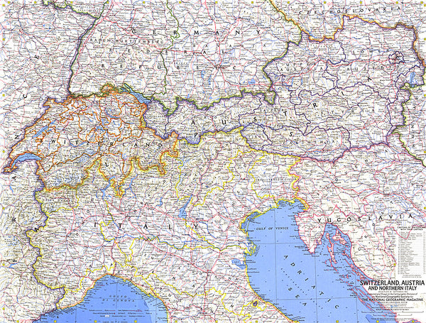
- Geographical region: Austria