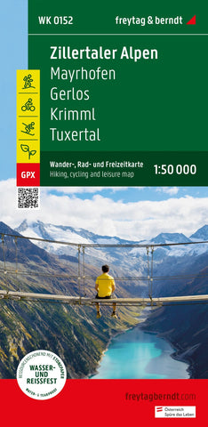
Zillertal Alps, hiking, bike and leisure map 1:50,000 WK 152
The hiking map Zillertal Alps Mayrhofen - Gerlos - Krimml - Tuxertal - Zell im Zillertal, 1: 50,000 is regularly revised and contains updated information about hiking trails, bike and mountain bike routes, huts, natural monuments, cultural sights and leisure facilities. The enclosed information book contains a selection of the best hiking trails, bike paths and mountain bike routes as well as a list of the protective huts and mountain inns. (Language: German) Details: leisure information, hiking and long-distance hiking trails, mountain bike and bike tours, local register with postcodes, GPS-suitable, via ferrata, referee, cross-country route, Nordic-Walking route, double-sided; Region: Zillertal, Zillertaler Alpen, Gerlostal, Tuxer Tal, Tuxer Alpen, Nordtirol, Krimmler Achental, East Tyrol, Tyrol, Austria, Ahrntal, South Tyrol, Italy; Special hiking themes: Central Alpine Way, Arnoweg, Via Alpina, Inntaler Höhenweg 2000-Tuxer Alpentrail, 2-Seen round; Special cycling and mountain bike
- Product Number: FB_WK_50_152_23
- Reference Product Number: - None -
- ISBN: 9783707920550
- Date of Publication: 2/25/2023
- Folded Size: 8.06 inches high by 3.93 inches wide
- Unfolded (flat) Size: 8.06 inches high by 3.93 inches wide
- Map format: Folded
- Map type: Trade Maps - Hiking
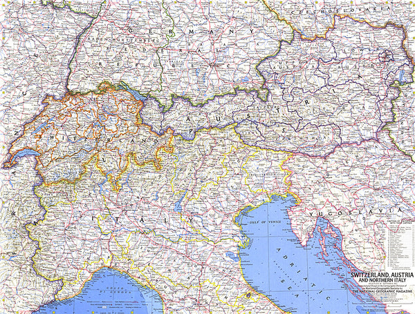
- Geographical region: Austria