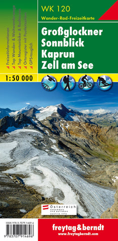
Großglockner - Sonnblick - Kaprun - Zell am See, hiking map 1:50,000, WK 120
Grossglockner - Sonnblick - Kaprun - Zell am See area of the Austrian Alps presented at 1:50,000 in a series of contoured and GPS compatible outdoor leisure map from Freytag & Berndt with hiking and cycling routes, mountain huts, campsites and youth hostels, local bus stops, plus other tourist information.
To see the list of currently available titles in this series please click on the series link.
Freytag & Berndt’s outdoor leisure maps cover the whole of Austria at 1:50,000, with selected popular areas also presented with 50K cartography enlarged to 1:35,000 for larger print and clearer legibility. The maps have contours at 100m intervals in the mountainous areas and 50m elsewhere, enhanced by shading, graphic relief and colouring for woodlands. The overprint highlighting waymarked hiking trails is graded into three types: easy walks, mountain paths, and more difficult alpine sections. Waymarked trails including long-distance routes are annotated with their numbers an
- Product Number: FB_WK_50_120_24
- Reference Product Number: - None -
- ISBN: 9783707920635
- Date of Publication: 11/4/2023
- Folded Size: 8.06 inches high by 3.93 inches wide
- Unfolded (flat) Size: 8.06 inches high by 3.93 inches wide
- Map format: Folded
- Map type: Trade Maps - Hiking
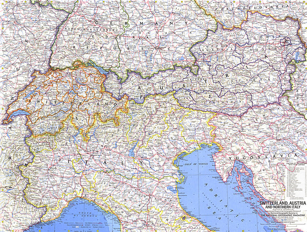
- Geographical region: Austria