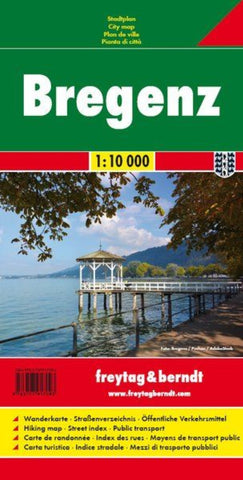
Bregenz, city map 1:10,000
Indexed street plan of Bregenz extending north along the Bodensee coast to Lochau and Unter Hochsteg. Detail includes pedestrianised areas, railways, bus routes and cycle paths. Notable buildings are highlighted in red, and symbols indicate post offices, hostels, campsites and car parks.
On the reverse is a 1:50,000 contoured map of the Bregenzerwald region to the south-east of the town, as far as Bezau & Winterstaude. Roads, railways, ski-lifts and cable cars are shown, along with ski trails, cycle paths, and walking routes including the E4 and E5. Additional symbols show landmarks and tourist features eg. hostels, mountain cabins, churches, ruins, spas, bus stops, etc.
- Product Number: FB_BREGENZ_17
- Reference Product Number: - None -
- ISBN: 9783707917093
- Date of Publication: 3/7/2017
- Folded Size: 7.86 inches high by 3.93 inches wide
- Unfolded (flat) Size: 7.86 inches high by 3.93 inches wide
- Map format: Folded
- Map type: Trade Maps - City Maps
- Geographical region: Austria