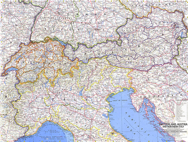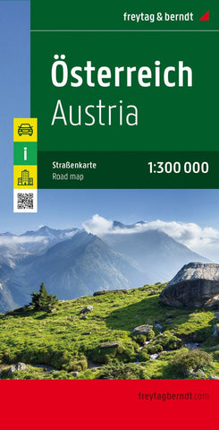
Austria, road map 1:300,000
Austria at 1:300,000 on a large, double-sided, very detailed road map from Freytag & Berndt with very good presentation of the country’s topography, plus an index booklet with town centre street plans of 10 main cities.
The map is double-sided, with no overlap between the sides. Coverage includes the German Alps with much of Bavaria, and in the south South Tyrol with the Dolomites. Excellent relief shading presents the topography, with plenty of names of individual mountain ranges, valleys, peaks, etc.
Finely graded presentation of the road network indicates driving distances on many small local roads, three types of gradient markings, roads closed to motorized traffic or caravans or not suitable for caravans, and toll routes. Scenic roads are highlighted and special tourist routes are named. Railway lines are shown with stations and various types of mountain transport are marked.
Picturesque towns and villages are highlighted and symbols mark locations of vario
- Product Number: FB_A_W_20
- Reference Product Number: - None -
- ISBN: 9783707915082
- Date of Publication: 10/29/2020
- Folded Size: 10.02 inches high by 5.11 inches wide
- Unfolded (flat) Size: 10.02 inches high by 5.11 inches wide
- Map format: Folded
- Map type: Trade Maps - Road
- Geographical region: Austria