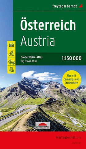
Austria, road atlas 1:150,000, large travel atlas with camping and parking spaces
Austria Supertouring Road Atlas from Freytag & Berndt in a handy 17x26cm spiral-bound format with street plans of 64 towns; one of several atlases based on the cartography of their 1:200,000 road map series, enlarged in this volume to 1:150,000 to provide a clearer picture of the wealth of information shown by the maps.
Effective relief shading presents the countrys terrain, with plenty of spot heights and names of peaks, mountain ranges, valleys, and other geographical features. Road network includes minor local roads and tracks and indicates toll roads, gradients, seasonal closures, roads closed to or not recommended for caravans, roads closed to motorized traffic, scenic roads and special tourist routes, etc. Railway lines are shown with stations, motor-rail services are indicated, and various types of mountain lines (cable cars, funiculars, etc) are marked. Picturesque locations are highlighted and symbols mark locations of campsites and youth hostels, sport and recreation
- Product Number: FB_A_AT_LG_20
- Reference Product Number: - None -
- ISBN: 9783707918632
- Date of Publication: 6/23/2020
- Folded Size: 10.41 inches high by 5.9 inches wide
- Unfolded (flat) Size: 10.41 inches high by 5.9 inches wide
- Map format: - None -
- Map type: Atlases - National Atlases
- Geographical region: Austria