Austria Supertouring, road atlas 1:150,000
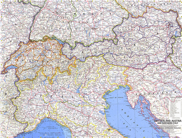
In addition to the clear design, this practical road atlas of Austria 1: 200,000 offers essential information such as sights, campsites and numerous city plans. Drivers and motorcyclists appreciate the precise cartography of Freytag & Berndt, especially for the planning and orientation on site.
Caravan drivers and campers will have an easy time finding campsites and parking spaces in this road atlas of Austria. Covered spiral binding tourist information Camping and parking spaces local register with postcodes 63 inner city plans
- Product Number: FB_A_AT2_22
- Reference Product Number: - None -
- ISBN: 9783707921786
- Date of Publication: 9/13/2022
- Folded Size: 10.1 inches high by 6.68 inches wide
- Unfolded (flat) Size: 10.1 inches high by 6.68 inches wide
- Map format: - None -
- Map type: Atlases - National Atlases
- Geographical region: Austria

